
One day while camping in Alabama Hills I looked up at the mountains and said to Rob, “we should hike Mount Whitney”. And like so many of our adventure one simple little idea spiraled out into a trip.
The route from Onion Valley to Mount Whitney takes you on the same route as both the John Muir Trail and the Pacific Crest Trail. It’s a great section to do if you are want an awesome high Sierra hike but with out the time commitment of the longer through hikes.
This post will go over all the important info for this awesome hike and summiting Mount Whitney. From permits to campsites I got you covered.
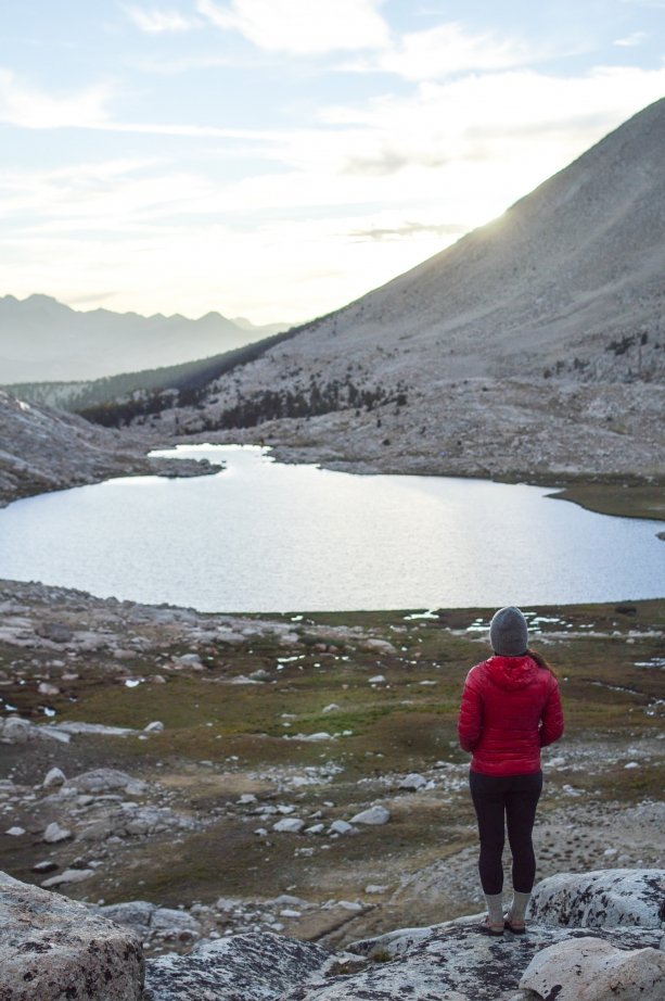
Trail Basics
Length: About 46 Miles, a lot of blog posts and trail guides say 43. They don’t seem to account for summiting Mount Whitney, because you actually end up taking a detour off the John Muir Trail to go to the top. So be aware that to summit Mount Whitney is an extra 3-ish miles off the JMT.
Time: Four days, three nights
Difficulty: Moderate to difficult, there are a few high elevation passes, and summiting the tallest mountain in the lower 48 is no small feat.
Type of Trail: Point to point, this means you’ll need two cars or arrange a shuttle service.
Direction: North to south, it is much easier to get a permit to exit out the Whitney Portal than to go in at the Whitney Portal. Plus finishing your hike with Mount Whitney is pretty awesome.
Best time to go: June through September, any earlier or later you can run the risk of snow and inclement weather.

Permit Stuff
You are going to need an Inyo National Forest wilderness permit. When you are selecting your permit make sure to specify that you will exit out Mount Whitney and your starting point is Kearsarge Pass.
Permits are $15 a person with a $6 reservation fee, and you can have up to 15 people per group. You can reserve your permit up to six months in advance.
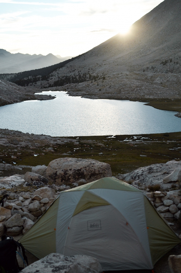
Campsites
Onion Valley: Car camping at the trailhead. It’s a good idea to spend a night or two here to get acclimated. Onion Valley is at around 9,000 feet. The campground has bear boxes, fire pits, and pit toilets. Plus there are a ton of day hikes around to get you used to the altitude. You can make a reservation for a site, but there are usually first come first serve sites available, sites are $20 a night.
Lower Vidette Meadows: Once you pass Bullfrog Lake (no camping there) you’ll turn onto the JMT and descend to Lower Vidette Meadow. It’s under 10,000 feet and there are a few small fire rings so you can have a fire (restrictions permitting). There are also bear boxes around to be able to put your food. These campsites are about eight miles in.
Bubbs Creek: Once you get to Vidette Meadow you’ll come upon Bubbs Creek and the trail follows the creek for quite a ways. There are plenty of camping sites all along Bubbs Creek. It does end up being above 10,000 ft so no campfires, there are bear boxes though. These campsites are about 11 miles in.
Tyndall Creek: After coming down from the epic Forester Pass you’ll hit Tyndall Creek after a few miles. There are quite a few campsites along Tyndall Creek and many of them have bear boxes. It is about 11 miles from Vidette Meadows.
Guitar Lake: Guitar Lake is the last place you can camp before heading up Mount Whitney. And the lake really does look like a guitar. There are a lot of campsites around the lake, if you go to the far side, closer to Mount Whitney there are sort of rock terraces that are pretty cool to camp on, plus you get a good view of the lake. No bear boxes here and I will also note that if you have to go to the bathroom you’ll have to use a poop bag and pack it out. Guitar Lake is about nine miles from Tyndall Creek.
Whitney Portal: There is a campground at the Whitney Portal where you can stay when you finish your hike. It is a traditional type campground with picnic tables and fire pits. It’s a good idea to make a reservation if you plan on staying after your hike because it’s a popular campground. Sites are $26 a night.
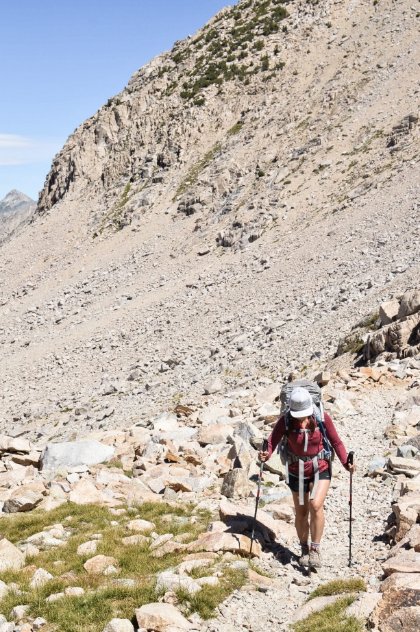
Need to Know/Requirements
Bear canister is required.
You need a poop bag to pack out your waste once in the Mount Whitney Zone.
Altitude sickness can be a real issue at such high elevations. It’s important to stay hydrated and listen to your body. Know the signs of altitude sickness (fatigue, headaches, nausea, dizziness) and if you start to experience these symptoms try to get down to a lower elevation.
Be aware of the weather. Early and late in the season you can encounter snow. In the summer time you can get afternoon thunderstorms.
Always keep your permit on you and easily accessible, there are backcountry rangers out there and they will check.

Cool Things
Heart Lake, visible from Kearsarge Pass.
Bullfrog lake is gorgeous.
Forester Pass – the tallest pass on the PCT.
Guitar Lake really looks like a guitar.
Mount Whitney summit, obviously, the tallest peak in the lower 48. Bonus points if you get up there for sunrise.
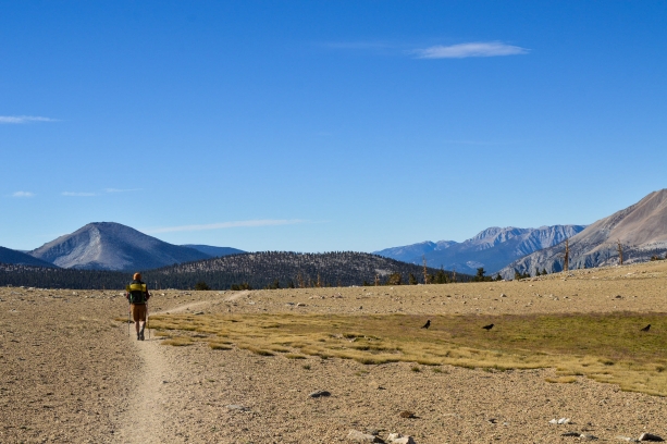
Shuttling
East Side Sierra Shuttle can be booked to take you between trail heads.
You can leave cars at the Whitney Portal and at Kearsarge Pass trailhead just outside of the Onion Valley campground.
Make sure to put any left over food or scented items into the bear boxes at the trailheads.
It’s about an hour drive between the two trail heads.

How I Did It
I went in mid August with a group of three. The weather was good and we didn’t encounter much snow even on the tallest passes.
Day Zero
We stayed at Onion Valley campground for a few days prior to starting our hike to get acclimated. We hiked around the campground and went down to Independence to recover at a lower altitude. Rob and I were coming from South Lake Tahoe which is at 6,000 ft. But my brother Alex was coming from San Diego, at sea level so we wanted to make sure we all had a chance to adjust.
Day One
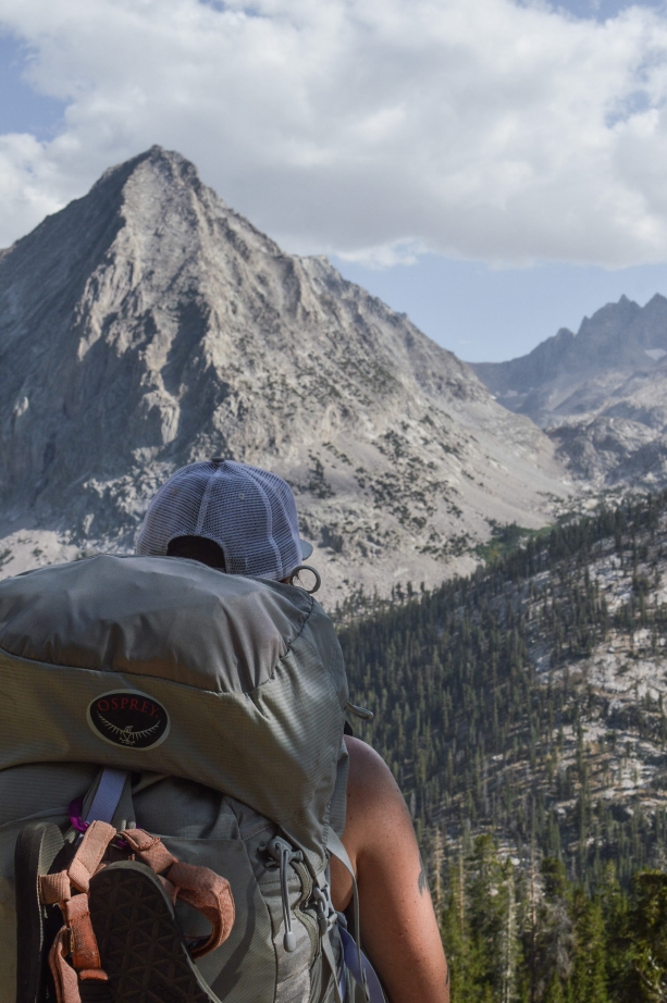
Onion Valley to Lower Vidette Meadows(about eight miles). The hike up Kearsarge Pass is a brutal way to start a hike. It’s really exposed and even though we started early in the day it got really hot really fast. We stopped at Bullfrog lake to take an afternoon break and enjoy the scenery, it is quite beautiful. We camped at Lower Vidette Meadows and were able to have a small campfire because it was under 10,000 ft.
Day Two
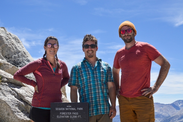
Vidette Meadows to Tyndall Creek (about 11 miles). I woke up feeling surprisingly good and got an early start on the day. A doe and fawn came walking by as we ate breakfast which was really cool. We climbed up Forester Pass, the tallest pass in the Sierras, and on the whole PCT, at around 13,000ft! It was a slow and steady trek but we got to the top and the whole crew was feeling good. No one was feeling sick which was a relief.
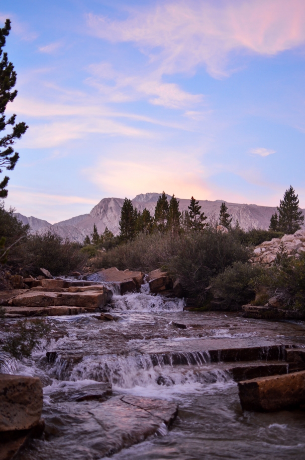
The descent down the south side of Forester Pass was pretty steep and a sheer drop off at some points which made for some dramatic scenery but was also a bit hard on the knees. By the end of the day my legs and feet were hurting and I’d slowed down quite a bit. Rob and Alex hiked ahead and set up camp near Tyndall Creek and I came hobbling in later. I can’t remember who said it but “jello legs Nat, coming in at a glacial pace” was definitely the vibe. We did end up getting a pretty epic sunset though so that made up for my aching body.
Day Three
Tyndall Creek to Guitar Lake (about nine miles). Everyone seems to call this day the “easy day” but that’s only because there is no giant mountain pass to climb up and down. I was definitely tired and sore starting out but you chug some water, take some Advil, and press on. As far as terrain goes, day three was much easier. There’s not a lot of elevation gain or loss and really pretty scenery.
We stopped at Timberline Lake for an afternoon break which was nice. It’s also worth noting that it is right around here that you enter the “Whitney Zone” which means poop bags and packing it out. So I’d suggest, if you gotta go, go before that point so you can just dig a cat hole. We hiked to the far side of Guitar Lake to camp so that we’d be a little closer to the start of the Whitney ascent. There are little rock terraces along that side which is pretty cool and gives you a good view of the lake.

Day Four
Guitar Lake to Mount Whitney Summit to the Whitney Portal (about 16 miles). We got up at 4:30 am, we knew we wouldn’t summit for sunrise but we’d still get to the top pretty early. We did catch the sunrise on the way up which was pretty spectacular. A lot of people ditch their packs at the trail crest to summit but we kept ours on. Mostly because we wanted to cook breakfast at the top so we needed our gear. We summitted around 9:30 and took in the awesome views and promptly started cooking bacon. Yes, we carried bacon in a Yeti thermos for four days to cook it at the top of Mount Whitney, and it was glorious! We hung out for a couple of hours taking photos and distributing bacon to other hikers. Then packed up around 11:00 for the hike down.
This is why I made the distinction about mileage at the beginning of this post. Most blogs and maps have the mileages for day four around 10-11 miles, so that’s what I was mentally prepared for. For some reason, no one takes into account where you start from on the backside and the deviation to the summit. So on the way down by the time we hit the 10-mile mark I was ready to be done, but we were nowhere near the finish. I had a really hard time on the downhill, there are about a thousand switchbacks and my knees were in a lot of pain.
At one point I suggested camping at one of the camping areas and finishing the hike in the morning. But I was reminded that we didn’t have enough food for another night and our permit only allowed us to be in the Whitney zone for a day, so no overnights. By the time we got to the bottom, I was so tired and in so much pain I could barely speak. But Rob and Alex were kind enough to go into the Whitney Portal Store and order me a burger and fries, and that helped.
I will say, the Whitney Portal Store burger and fries are quite good, especially after a hard day on the trail.
My Favorite Gear
READ MORE:
Backpacking 101: Gear
Backpacking 101: Food
Backpacking 101: Training
Backpacking The Lost Coast Trail
Like this post? Pin it!


Pingback: Hiking the Skyline to Sea Trail - Nattie on the Road
Pingback: Backpacking the Lost Coast Trail - Nattie on the Road
sI and two friends did this hike in 1964 when I was 18 (60 years ago). We did it in 5 days, but took a few side hikes. I’d love to do it again, but not sure I could make it. It was an significant part of my life back then with a num number of other hikes. This brought back great memories! Thanks.